USe the following links to help research the presentations comparing two earthquakes. For the basic information, start at Wikipedia.
1989 Loma Prieta (San Francisco)
1989 Spitak (Armenia)
2003 San Simeon (Central California)
Then see the following:
San Simeon - USGS
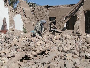
Bam - BBC


